
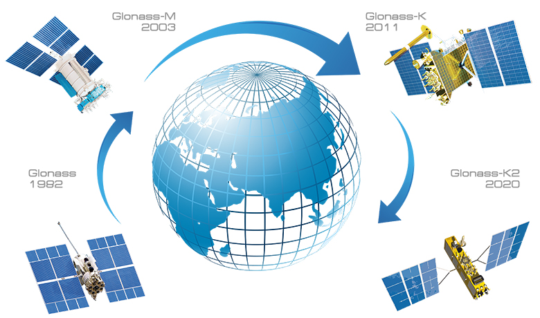
- GLONASS system space segment including orbital constellation, launch vehicles, ground control complex;
- Augmentations, including wide-area GNSS augmentation system – System for Differential Correction and Monitoring (SDCM), as well as regional and local systems for monitoring and augmented navigation;
- System of high accuracy a posterior ephemeris and time information;
- GLONASS fundamental support segment including system of operational Earth rotation and orientation parameters determination, system of state UTC timescale generation, Russian Federation reference frame (coordinate system);
- User receiver equipment for civil and special applications.
GLONASS system in an extended configuration consists of the following parts:
Throughout the whole history of the satellite radio navigation the positioning accuracy enhancement has been the key challenge and its solution requires for both hard & software and GNSS augmentations development.
Currently in Russia and abroad different augmentation systems are in operation or are being developed. They serve for different users and thus differ by location, service zones size and transfer channels of the augmenting information.
Russian System for Differential Correction and Monitoring (SDCM) covers the whole territory of the Russian Federation and neighboring zones as well. Civil aviation is the primary SDCM user. SDCM augmenting information is transmitted by satellites of the Luch retranslation system.
GLONASS provides all categories of users with global real time continuous all-weather navigation services. All around the globe users have access to GLONASS signals without any limitations and free of charge.
GLONASS is currently used in almost all sectors of the Russian Federation economy for the purposes of navigation, transportation control, traffic management and time scales synchronization. GLONASS service availability determines operation of transport, communication, energy systems and efficiency of construction and land surveying works.
GLONASS systems provides users with two types of services – of standard and of high accuracy.
Standard accuracy services are provided by transmitting signals of standard accuracy in L-band. Each GLONASS-M satellite transmits frequency division navigation radio signals in two bands: L1 (1.6 GHz) and L2 (1.25 GHz).
Standard accuracy signal with 0.511 MHz timing frequency is intended for homeland and foreign users and is available for all users with suitable receivers having GLONASS satellites in sight.
- Reference system originates from the Earth center of mass;
- Z-axis is directed to the Conventional Reference Pole (Conventional International Origin) that was defined by the International Earth Rotation and Reference System Service (IERS);
- X-axis is directed to the intersection point of the equatorial plane and the Zero Meridian, defined by the IERS and Bureau International de l’Heure (BIH);
- Y-axis completes a right-handed system.
Immediate data transmitted by each GLONASS satellite contain ephemeris, describing phase center attitude of the transmitting antenna in The Earth Parameters 1990 (“PARAMETRY ZEMLI 1990” (PZ-90.11)) geocentric coordinate system, which is specified as follows:

